To celebrate the 5th anniversary of our summit of Kili on Saturday, 17th September 2011, I have finally gotten around to posting my story of the climb. This is a very abridged version of my journal, and a longer version of the story “Africa on high”, published in AG Outdoor in November 2011.

Despite the threat of global warming, the world’s highest free standing mountain is not just a challenge to the trekking enthusiast; it is a blend of spectacular landscapes, unique vegetation and amazing experiences.
Eight friends and eight days on a mountain
I knew I was physically fit enough for the mountain. There wasn’t a day on Kili that was more difficult than some of our long challenging training hikes. What I couldn’t know was how I would handle the altitude, and whether I had the mental mettle for the long pre-dawn hours to the summit.
Mount Kilimanjaro is 5,895 metres tall, so the peak falls into the “extreme” altitude category, but especially for those who live at sea level, the effects of altitude can manifest themselves as low as 1,500 metres. As altitude increases atmospheric pressure decreases, that is, the air becomes less dense. Though there is still the same percentage of oxygen in the air, the decreased density of the air results in less of everything including oxygen molecules. The number of oxygen molecules breathed into the lungs in a normal breath at 5,895 metres is roughly half the number breathed in at sea level.
The simplest way to compensate for this is to breathe faster. Most people can adapt to altitudes up to 5,500 metres by adjusting their respiration, and ultimately the body will produce additional red blood cells, but above 5,500 metres few people continue to adjust. Acclimatisation, or giving the body a chance to adapt to altitude, is a way of maximising the body’s ability to cope with the decreasing air pressure.
For this reason, we chose to summit via the Lemosho route. Normally a seven-day hike, we added an extra day to enhance our acclimatisation. The Lemosho route starts at the Londorosi Gate; at 2,250 metres, it is higher than Australia’s highest peak. Apart from being the longest route on the mountain, it offers other advantages including walking through a series of valleys resulting in frequent altitude gains and losses (important for acclimatisation) and also affording a great experience of Kili’s distinct vegetation regions.
From the Londorosi Gate it is a 14 kilometre drive to the trail head at the Lemosho Glades, and the true start of the trek. We didn’t get to the trail head until around 4pm, which meant we would be finishing our first day’s trekking in the dark. This wasn’t an issue; we had all done a lot of night walking. It just meant fewer opportunities to see some of this route’s famed wildlife.
Day one culminated at Mti Mkubwa, or Big Tree Camp, at 2,650 metres. The camp was crowded, dark and dusty, but our tents were pitched and waiting for us and dinner wasn’t far behind. Small luxuries became treasures over the next seven days. The flowers in the mess tent were a touching addition to the table and the toilets an unexpected but welcome amenity at the beginning and end of each hike.
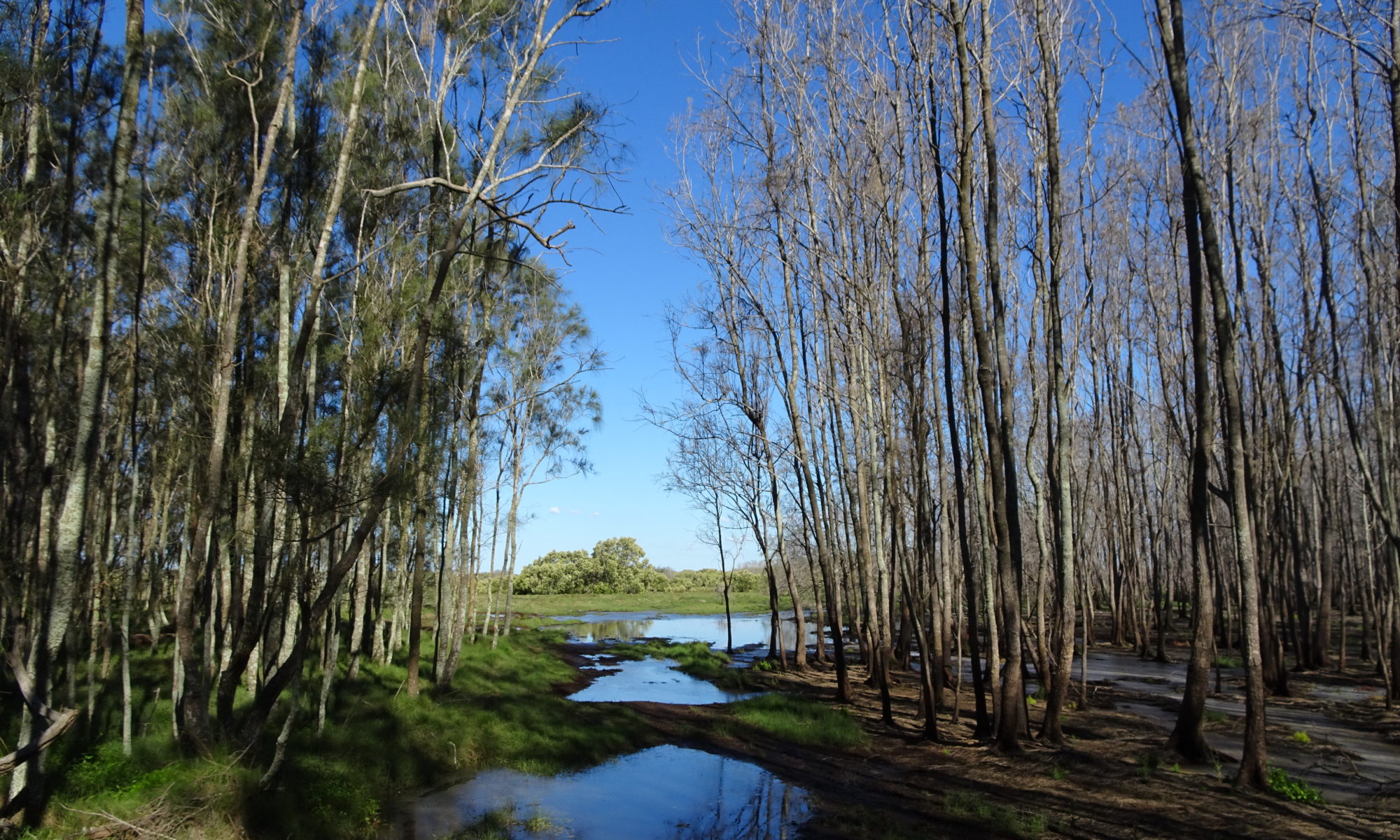
Day two continued in Kili’s rainforest. In the morning, when the clouds envelope the mountain, the forest is silent, still and shrouded in mist. Ancient Juniper trees, draped in bearded lichen stand tall and statuesque.
Breaking through the forest we entered the Moorland section at around 3,000 metres and could now take in some of the panoramic views from the mountain. The vegetation in this region became more stunted and while the path is gouged deep by thousands of hiking boots, the lack of canopy left us exposed.
We lunched on a ridge at around 3,100 metres and then made our way toward the Shira Plateau. By now we were feeling the effects of altitude with the steeper sections producing shortness of breath and in some cases severe dizziness. But we persevered, “pole, pole” (Swahili for “slowly, slowly”). We climbed to just over 3,500 metres – not steep, but relentless. Our first glimpse of the mountain top came as we rounded the last ridge before descending to the Shira Plateau.
We had flown around the mountain on our approach to Kilimanjaro International Airport. Our small airplane cruised lower than the peak and what we saw above the clouds that evening had been our last two days’ hiking to the summit. From our view this day on the path to Shira One we were still four days from the summit attempt. Kili was simultaneously magnificent and daunting, and yet so far away. Our last one and a half kilometres that day was a gentle descent to Shira One camp.
Day three was the hike from Shira One to Shira Two, across the Shira Plateau. We started the day in a buoyant mood, playing “Eye Spy”. This is considered a tedious part of the hike with only a few hundred metre altitude gain through an unchanging landscape. Lichen-covered rocks were littered amongst shrubs that looked like they belonged on another planet; and small white, yellow and red wildflowers and ground covers. The Alpine landscape, while barren, was in no way lifeless and exuded the air of determined survival in a harsh environment. We had climbed gradually throughout the morning’s hike but our destination was at the top of another short, sharp ascent, by now quite taxing as we approached 3,900 metres.
Day four we would hike from the camp, climbing 700 metres to the Lava Tower and then back down to Barranco Camp at 4,000 metres. I approached the day with some trepidation: this was well above any altitude I had previously achieved, but the secret is “pole, pole”, and the walk was not as difficult as I had anticipated.
We lunched at the base of the tower, a large boot-shaped volcanic core, and then climbed the last 80 metres. The landscape at 4,600 metres is harsh and barren, well above the tree line. From there it was down through the Barranco Valley, a picturesque forest of Senecia, Lobelia and other unique Alpine plants.
The Barranco Valley is a highlight of this trek on Kili, but the spectacular vegetation of the valley remained stubbornly hidden behind a shroud of mist, and with a steep descent from the Lava Tower, my focus remained on the path and keeping my foot placement sure and steady. Most walkers will agree that walking uphill is easier on the body than walking down. This was a tortuous descent.
The mist brought with it tiny hail-like snow. While the air temperature was low, it wasn’t quite cold enough for the snow to retain its structure so as the tiny flakes were whisked up in eddies they melted to become tiny blobs of ice that pattered against our outer layers.
One of the advantages of descending to the camp in such low cloud was that the infamous Barranco Wall was hidden from view. The wall is 200 metres of almost vertical rock and vegetation. Etched clearly into the face is the path that leads to the top. What I beheld the next morning filled me with dread.
We dispensed with our trekking poles at the bottom of the wall. They would be no good to us for the next couple of hours. Instead, the first part of the ascent is a combination of walking and climbing. While not overly difficult, some parts were challenging for a person just over five feet tall, and others were quite disconcerting: such as the “kissing” rock where you hugged the rock, almost kissing it while skirting around it on a narrow ledge.
It brought back childhood memories of rock hopping around Bowen’s beaches. The climb was not as steep as it looked, and it diverted the mind from the altitude and shortness of breath. The Barranco Wall remains one of the highlights of the trek.
Our next camp was Karanga, and after photos on top of the wall, we tackled the two valleys that separated us from the day’s destination. While the camp was just across the second valley, there was a long way to go. The descent into the valley was one of the most difficult yet. With a creek running down the path, it was not just steep, it was slippery and treacherous. The ascent on the other side was less steep, but arduous. A piercing altitude headache had me practising my deep breathing and by the time we made the top I was back to normal.
The water for the camp is collected from the creek at the bottom of the valley, and while we laboured up the last climb, porters were loping down the track and returning with 20 litre drums of water on their heads and shoulders. These men were a constant source of amazement.
This would be our third night sleeping at around 4,000 metres and it was integral to our acclimatisation, incorporating the concept of walking high and sleeping low.
And so it was, our last full night on the mountain before attempting the summit, we slept at 4,000 metres before making “base camp” at Barafu. We had left the beautiful Barranco Valley far behind and were now well into the Alpine Desert. The landscape was marked by outcrops of shale-like rock. The last climb to Barafu was the steepest yet, into dense cloud. I had started the day with a positive mindset; this should be no worse than the walk up to the Lava Tower. Finally as tents appeared through the shroud and we topped 4,600 metres, arriving at the bleak unwelcoming camp filled me with renewed consternation about our summit attempt, now due in less than 12 hours. Barafu looked a Godless place. Rocky and exposed, tents were pitched wherever a morsel of ground offered sufficient space among the boulders of the lunar landscape.
We had progressed from the western to the eastern side of the mountain. Here the weather was more prone to precipitation as the moisture-laden sea breezes approached from the Indian Ocean. As we bunked down for a rest before our early dinner it started to sleet and the tents struggled to keep the moisture out.
We dined early and sorted out last minute gear and layering issues and then retired again for our last rest; we would be rising at 11pm to commence hiking at midnight.
The acclimatisation strategy appeared to have worked. I felt as good as I had lower on the mountain, though at altitude everything was more difficult; just rolling over in the sleeping bag would elevate both heart rate and breathing. I fell into a sound three-hour slumber.
And then it was time. All the preparation and months of hard work would culminate tonight on the final steep climb up Kili’s south-east face. I had no idea how I would fare, nor whether I would make it, but knowing the slope of our final ascent (1,300 metres over five kilometres) I knew we were in for a tough night and one of our greatest physical and mental challenges. While I had steeled myself for what lay ahead, there is little other than first-hand experience that can prepare you for summit night on Kili. It was every bit as difficult as I had expected.
By three hours in P was suffering badly with altitude. Unable to focus on his breathing he was constantly dizzy. H was also suffering; vomiting and unsteady on his feet. In the meantime I was contending with my own demons.
As the pre-dawn hours approached the group split in two, with R, M, H, P and me bringing up the rear. P and H were suffering physically, but for me the battle to stay awake was having a different effect as I had started to fall asleep on my feet. By 5.30am the situation was desperate but perched on the side of the mountain we watched the sunrise over Mawenzi; miraculously this seemed to invigorate us all.
But Stella Point, only a few hundred metres above us, still seemed almost unattainable. We had left the rocky path up the side of the mountain. For the past few hundred metres we had been walking 20 paces and then stopping to bring our breathing under control.
Now we were on the infamous steep scree slopes. Our pace changed down again. Every step was a kick into the side of the mountain to try to gain some purchase on the scree and not waste a single inch of uphill effort. We developed a rhythm of step, breath, breath, step, breath, breath and it was this pace that finally saw us mount the relatively flat path at Stella.
Our hiking companions greeted us with cheers, applause, sobs and hugs. Now there remained a mere one and a half kilometre walk with a 200 metre climb. When compared to the previous three and a half kilometres, the path the Uhuru sounded innocuous and beckoned us to the summit. While not difficult, the final stretch was monotonous, and in the dense cloud that enveloped us, it was a frustrating struggle: frustrating because at low altitudes that walk would have been easy, a gently undulating climb, but at over 5700 metres, it was nearly impossible to strike the balance between a reasonable walking pace and maintaining a steady flow of oxygen. Finally, in desperation, I exclaimed, “Where is this bloody sign?”, and with that the clouds parted just enough for us to glimpse Africa’s highest point.